Maps
of the Lavrio area
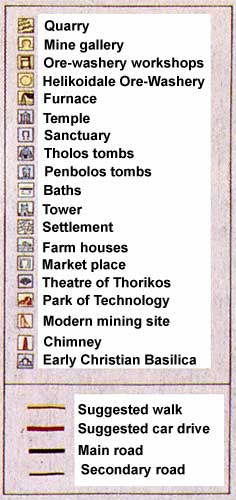
Legend for map below
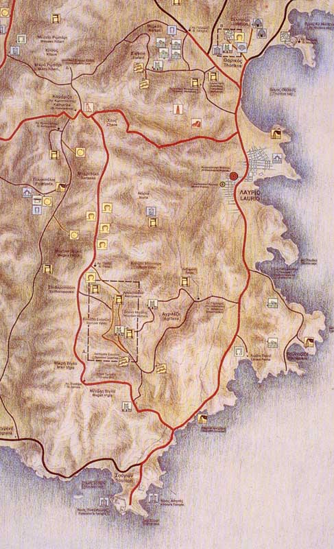
Map
showing Lavrio (right), Sounio (bottom)
Ag. Konstadinos (upper-left) and the Souriza's
valley area mines & workshops (dotted box)
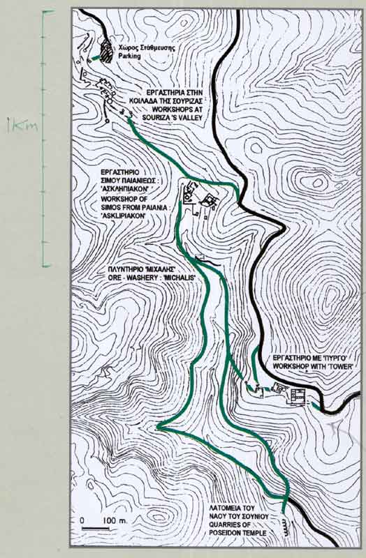
Souriza's
valley, Asklipiakon & Michalis mines & workshops
(expanded box from previous map)
Note: Parking area at top - from where it is just a
short walk down to the nearest excavated cisterns & workshops.
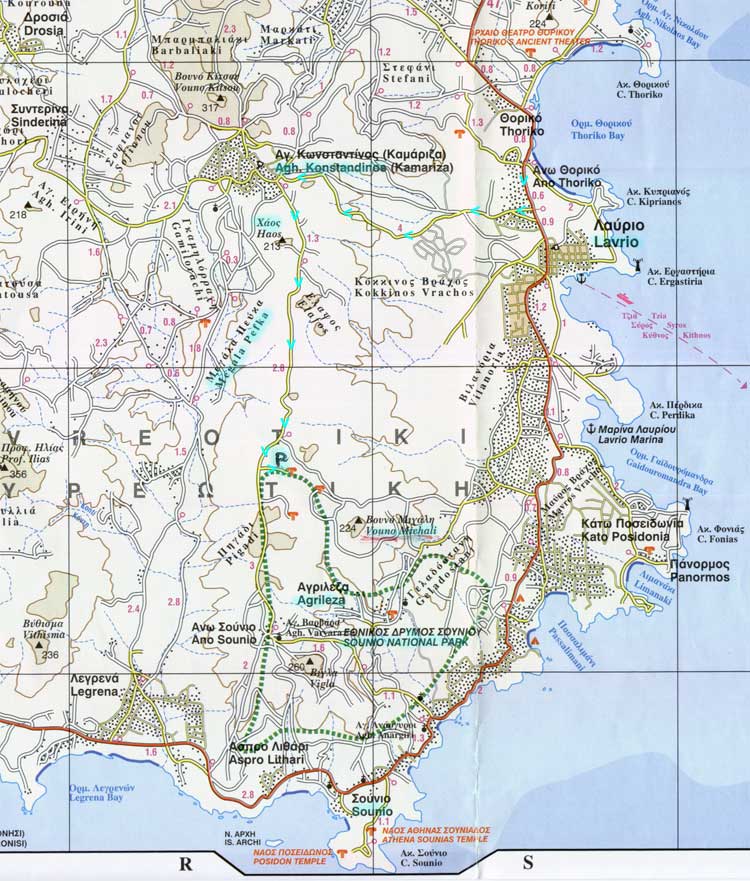
Detailed
map of the Lavrio area & Sounio National Park
(Turquoise arrows show the way from Athens to Souriza's valley)
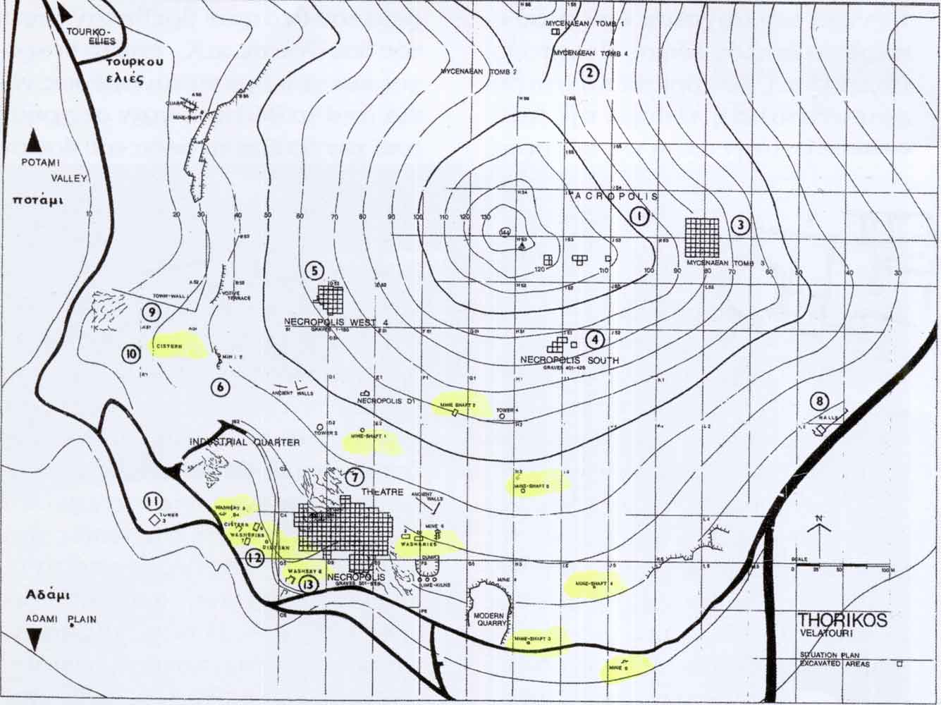
Map
of Thorikos & Velatouri mountain showing location of the Ancient Theatre,
Mycenaean Tombs, ancient
silver-mine shafts &
washeries, etc
The Lavrio power station is located bottom right & it's tall chimneys dominate
the area.
Acknowledgements:
The Lavrio Museum
The ROAD company map of Attiki